USA · Chicago to Santa Monica
Route 66
The Mother Road: neon diners, desert and the Pacific at the end.
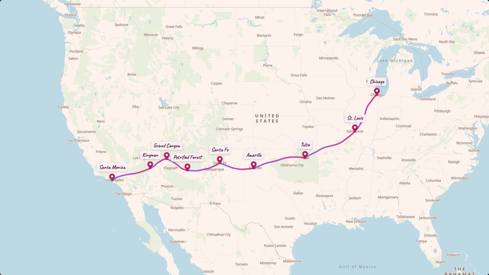
- Stops
- 9
- Straight-line distance
- ≈ 3,145 km
- Look
- Postcard
Free to make and export. No signup needed.
The stops
- 1
Chicago
Chicago, Illinois
Route 66 Begin sign
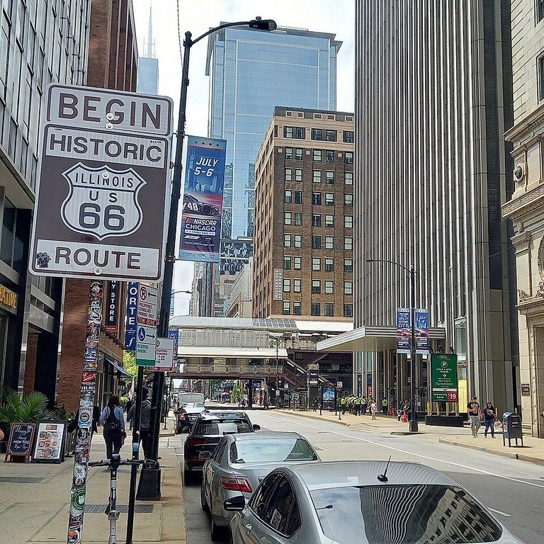 Car · 422 km
 - 2
St. Louis
Gateway Arch, St. Louis, Missouri
Gateway Arch
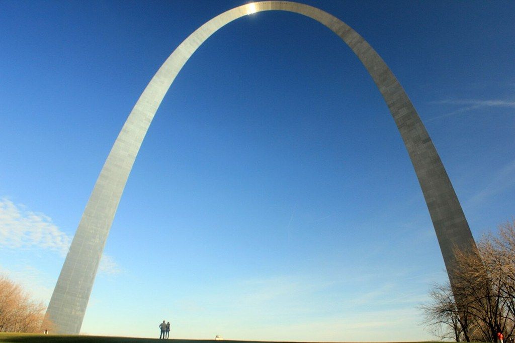 Car · 582 km
 - 3
Tulsa
Tulsa, Oklahoma
Car · 552 km - 4
Amarillo
Cadillac Ranch, Amarillo, Texas
Car · 362 km - 5
Santa Fe
Santa Fe, New Mexico
Santa Fe Plaza
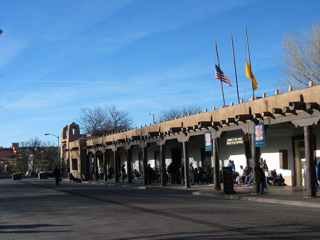 Car · 351 km
 - 6
Petrified Forest
Petrified Forest National Park, Arizona
Petrified Forest National Park
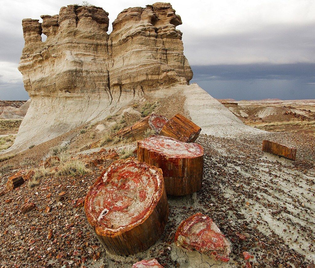 Car · 250 km
 - 7
Grand Canyon
Grand Canyon Village, Arizona
Grand Canyon South Rim
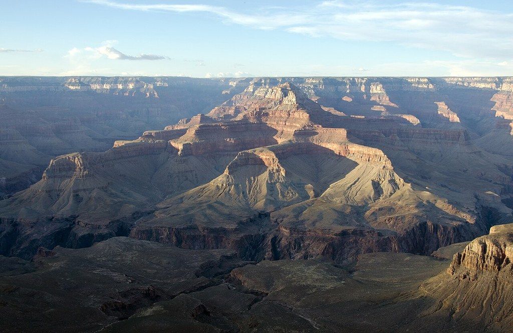 Car · 199 km
 - 8
Kingman
Kingman, Arizona
Oatman, Arizona
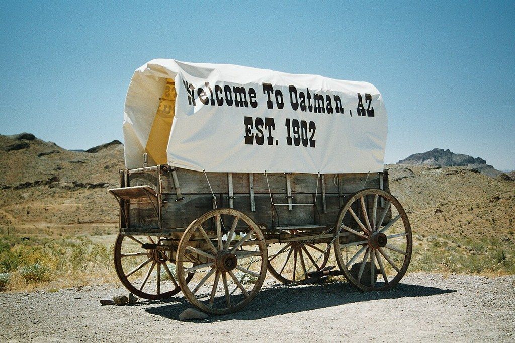 Car · 427 km
 - 9
Santa Monica
Santa Monica Pier, California
Santa Monica Pier
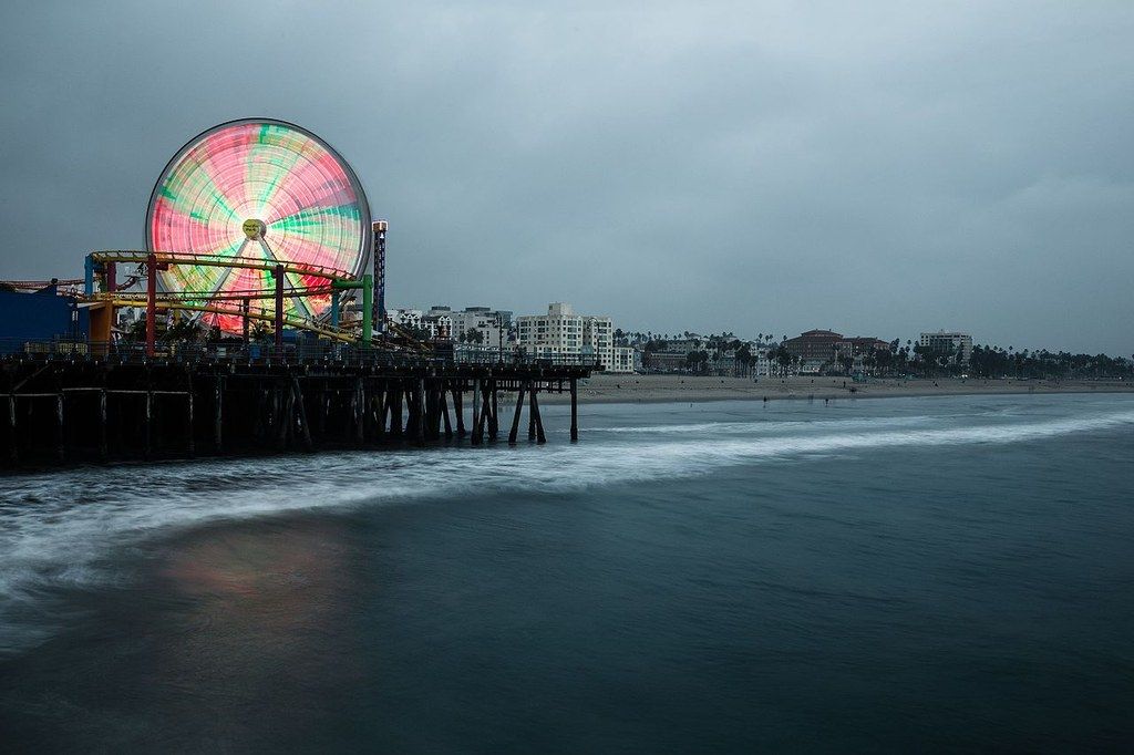
Photo credits
From Wikimedia Commons, resized and cropped. Each credit also shows in the corner of the video while its photo is on screen.
- Route 66 Begin sign by AlphaBeta135 · CC BY 4.0 · source
- Gateway Arch by Yinan Chen · Public domain · source
- Santa Fe Plaza by National Trails Office (US National Park Service) · Public domain · source
- Petrified Forest National Park by NPS Natural Resources · Public domain · source
- Grand Canyon South Rim by Grand Canyon National Park · Public domain · source
- Oatman, Arizona by Jensre · Public domain · source
- Santa Monica Pier by Sweet Ice Cream Photography · CC0 · source